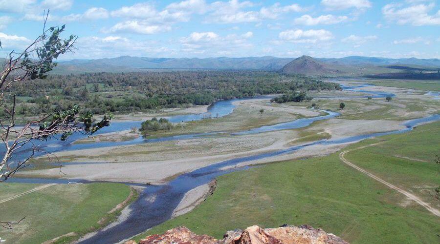
Ulaanbaatar is Mongolia’s capital and largest city, with a population of over 1.3 million people, accounting for about half of the country’s total population. The capital is situated in north central Mongolia, at a height of 1,300 meters, in a valley on the banks of the Tuul River. It is the country’s cultural, industrial, and financial hub, as well as the hub of Mongolia’s road network and a rail link to both Russia’s Trans-Siberian Railway and China’s railway system. The city began as a wandering Buddhist monastic center in 1639.
The arrival in Ulaanbaatar may be disconcerting, if not disturbing, for a traveler eager to discover the steppe, nomads, and all the wide open areas. This is a Stalinist metropolis, with sad homogeneous buildings, a central avenue, and the obligatory central square found in most Soviet cities. UB, as it’s known among expats, has a subtle charm about it that goes beyond first impressions. A trip through the town center, especially late in the summer, can be enjoyable for individuals who enjoy strolling. Most tourist attractions are within walking distance, and getting away from the concrete needs only a short bus ride to the wooded Bogd Uul Mountain on the city’s southern outskirts. The city, which is 1,351 meters above sea level, spans across the Tuul River valley in an east-west orientation. It has a population of approximately 1,500.000 people and a land area of 135,800 hectares. The Bogd Uul to the south, the Songino to the west, the Bayanzurkh to the east, and the Chinggeltei to the north are surrounded by mountains. The town center is startlingly contemporary, with virtually little pre-Communist architecture visible. Ulaanbaatar was still a city of monasteries and gers in 1930, all of which were surrounded by high wooden palisades. Tall structures were prohibited until the twentieth century for fear of defacing the monastery rooftops.The majority of the present town was built after WWII, and the awful high-rise residences are from the 1960s. Tourists coming from the airport are confronted with a mix of ancient and contemporary scenes. The ger suburbs, which are made up of gers and modest wood dwellings, are set against a backdrop of huge polluting power plants and concrete buildings. Residents must collect their water from pump houses in these areas that surround the city because there is no sanitation system. Ulaanbaatar is the permanent residence of one-third of Mongolians. Almost every rural person has friends or family in the capital, and many have made it their’second home,’ a place where they can do business, work, or study. The city is divided into eight districts: Bayanzurkh, Bayangol, Songino-Khairkhan, Chinggeltei, Sukhhaatar, Khan-Uul, Nalaikh, and Baganuur. It has been connected by train to Russia since 1950 and to Beijing since 1955, and it has the largest airport.
It is also the nation’s transit hub. The Government House, ministries, embassies, political party offices, the university, teaching institutions, museums, theatres, cinemas, the national news agency, and the Central post office are all located around Sukhbaatar Square, which serves as the city’s political and cultural hub. The factories are located on the road to the airport, to the south-west of the city center. The Buddhist heritage of an area west of the Square, centered on Gandan Monastery, is well-known; two other temple complexes and a nunnery are close. Peace Avenue, which used to be a calm street with the occasional bus or horse carriage, is now clogged with off-road vehicles, taxis, and showy European imports. It is the primary east-west street, with businesses and restaurants across both sides.
Another popular shopping location is the third and fourth micro-districts. The districts that make up the capital are named after mountains, in keeping with an old Mongol custom that was revived when communism fell apart and utilized vocabulary more in line with communist ideals.


